
This short video, below, captures time-lapses of the trails of geostationary satellites through southern Orion. It demonstrates the “crowded sky” we now have above us.
If you have tried photographing the Orion Nebula and Sword of Orion area with long tracked exposures you have no doubt seen these trails in your photos. Here I shot to purposely capture them in a time-lapse, for demonstration purposes.
Please note, these are not Starlink satellites. So do not blame Elon Musk for these!
These are the much more established geostationary or “geosynchronous” satellites that orbit 35,785 kilometres above Earth and so take 24 hours to orbit the planet. As such they remain apparently motionless over the same spot on Earth, allowing fixed dish antennas to aim at them.
(For more about geosats see the Wikipedia page.)
So why are they moving here?
The camera is on a mount that is tracking the sky as it turns from east to west, so the stars are staying still. What would normally be satellites fixed in one spot in the sky (after all, they are called “geostationary” for a reason) instead trail into short streaks traveling from west to east (right to left) in the frame. But in reality, it is the stars that are in motion behind the satellites.
The region of sky in Orion below the Orion Nebula (the object at top) lies south of the line that bisects the sky into northern and southern halves called the “celestial equator.” Most geostationary satellites also orbit in Earth’s equatorial plane and so appear along a belt near the celestial equator in the sky.
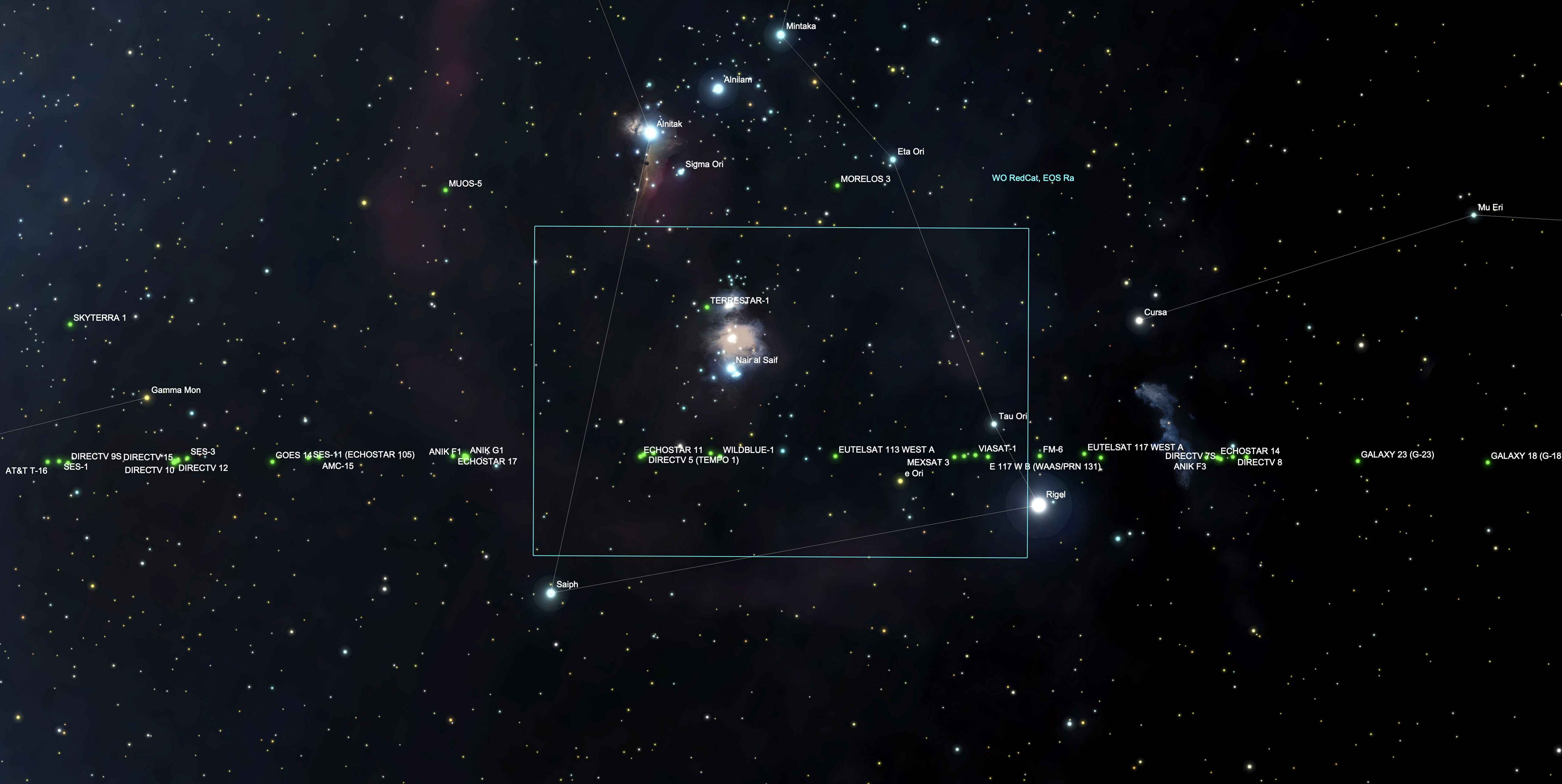
In this video, however, they appear about 5° to 7° south of the celestial equator (which runs through the famous Belt of Orion off frame at top). That’s because I live north of the equator of the Earth, at a latitude of 51° north. So parallax makes the geosat belt appears south of the celestial equator in my sky. From a site in the southern hemisphere the geosat belt would appear north of the celestial equator.
You’ll notice some satellites travelling diagonally — they are not geosats. You’ll also see some flashing or pulsing satellites — they are likely tumbling objects, perhaps spent rocket boosters.
The satellites are visible because they are high enough to reflect sunlight even in the middle of the night, as the sequences each end about 11:30 to midnight local time.
But in this video the satellites are not flaring — this is their normal brightness. During flare season around the two equinoxes geosats can become bright enough to be seen with the unaided eye. For a video of that phenomenon see my video shot in October 2020, below.
TECH DETAILS FOR “TRACKS OF THE GEOSATS” VIDEO:
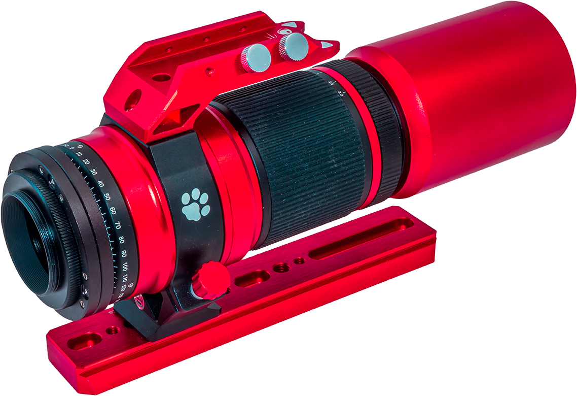
The video at top contains time-lapses shot on two nights: January 18 and 20, 2021. Both are made from hundreds of frames taken through a William Optics RedCat astrograph at f/5 with a 250mm focal length. The field of view is 8° by 5.5°.
Each exposure is 30 seconds long, taken at a one second interval. The camera was a Canon 6D MkII at ISO 3200 on January 18 and ISO 1600 on January 20 in the brighter moonlight that night.
In the first sequence from January 18 the equatorial mount, an Astro-Physics Mach1, is left to track on its own and is unguided. So the stars wobble back and forth slightly due to periodic error in the mount. The field also drifts north due to slight misalignment on the pole. Clouds pass through the field during the shoot.
In the second clip from January 20, taken with a quarter Moon lighting the sky, the mount was autoguided, using an MGEN3 auto-guider. So the stars remained better fixed over the 5.5 hours of shooting. A slight glitch appears near the end where I swapped camera batteries, and the camera turned ever so slightly causing the stars to enlarge a bit for a moment.
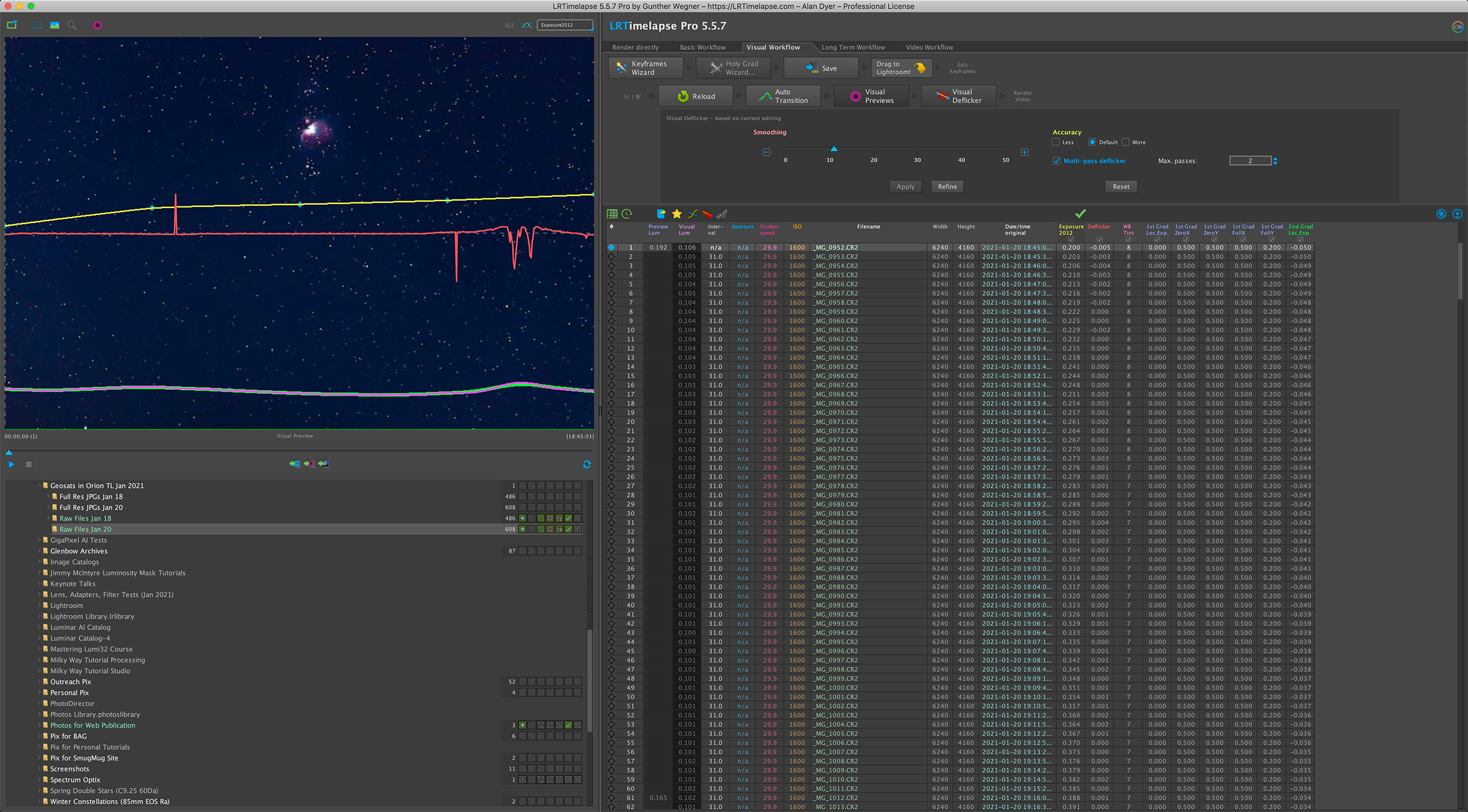
The frames were processed in Adobe Camera Raw and LRTimelapse
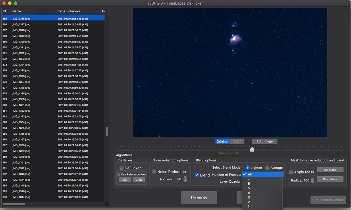
I then assembled exported JPGs with TimeLapseDeFlicker, using a 3-frame Lighten blend mode to lengthen the trails. The final version was assembled with TLDF’s All Frames mode (shown above) where every frame gets stacked for an accumulated total, to show the busy sky traffic!
Thanks!
— Alan, © 2021 / AmazingSky.com

Dear Alan, Amazing! Compliments for the research and all the work. Kind regards, Hans G. Smit
>
Thank you! Clear skies!
Enlightening. Wonderful work. Thank you.
Thanks Jim! All the best!
Great presentation, as always, Alan. You remind me that I must do something with the 700 images I have of the Perseids, taken over a few nights. Going through them one by one is clearly not the most efficient way to see the meteors and satellites (which are indeed legion).