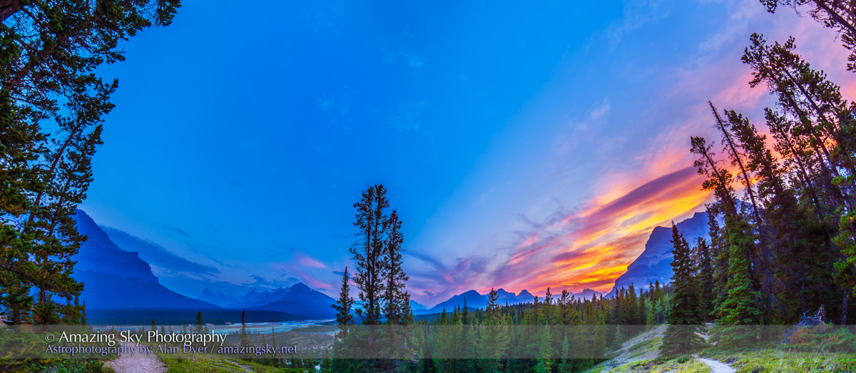
The setting sun lights the clouds over the river plains of the North Saskatchewan.
This was the panoramic view two evenings ago from the Howse Pass viewpoint on the Icefields Parkway in Banff.
We’re looking south over the North Saskatchewan River near its junction with the Howse and Mistaya Rivers. The spot is near where Highway 11, the David Thompson Highway, comes in from the east to join the Parkway. It’s a modern highway now but 200 years ago this was a main canoe route for the fur trade.
The area is known as David Thompson Country, named for the great explorer, surveyor, and celestial navigator who mapped much of western Canada in the early 1800s.
Until about 1810, Thompson passed this way every year en route to the fur trade forts he set up in the B.C. interior, his main job for the North West Company.
Conflicts with the local Pikanii people, who objected to Thompson trading with and arming their traditional enemies, the Kootenais, forced Thompson to find a new route across the Rockies, the Athabasca Pass in what is now Jasper National Park.
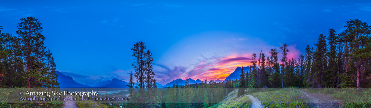
The top image is a 180° panorama, the bottom image is a full 360° panorama from the viewpoint. In the distance are Mt. Murchison, at left, and Mt. Cephren in the far distance, the prominent peak by Waterfowl Lakes.
I shot these with a 14mm lens, in portrait orientation, and stitched them with PTGui software. The top image is made from 6 segments, the bottom from 12 segments.
The software blended them perfectly, no small feat in such a uniform twilight sky. I’m always impressed with it!
– Alan, August 14, 2014 / © 2014 Alan Dyer

That is a stunning view! Absolutely amazing! 🙂
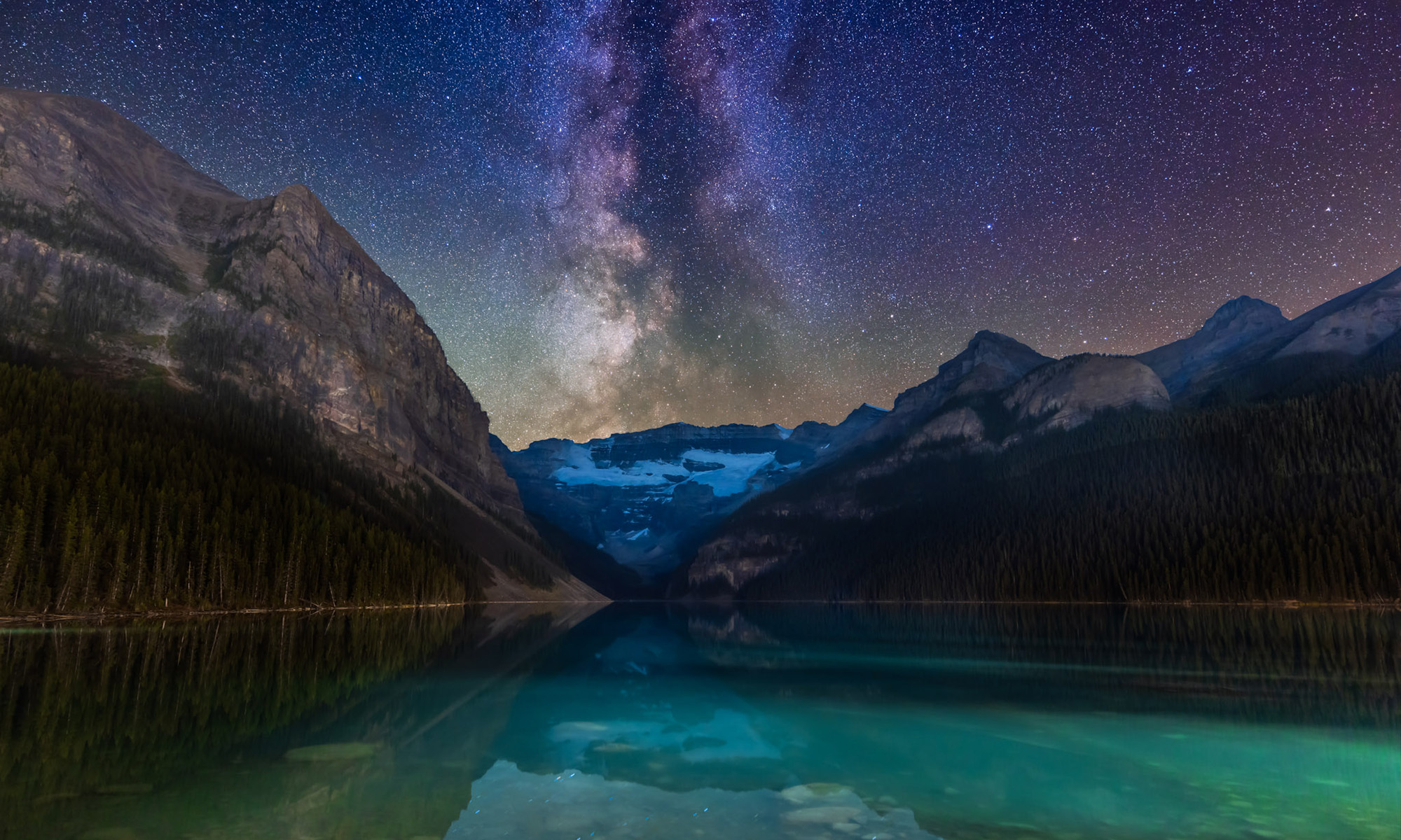
I am self looking forward to shoot few photos of the milky way from Khao Yai National Park in Thailand, not sure if the weather will allow me as it is a bit into the rainy season there;
http://www.thainationalparks.com/khao-yai-national-park/
They have some great sunset in another national par nearby there.